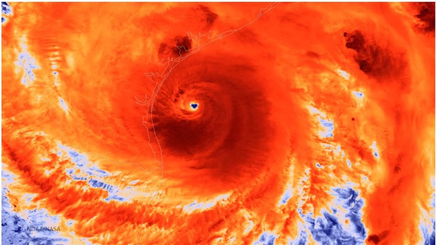
Working with hundreds of stakeholder communities and learning their needs has helped us to develop products useful for everything from ocean navigation and hurricane trajectories to monitoring coastal areas for harmful algal blooms and tracking the movements of invasive species.
Please note: GCOOS reserves 3-5 p.m. CT Wednesdays as a maintenance window for data servers, and users may experience an intermittent interruption of data services. If the service is down outside this time window, please report it to Data@GCOOS.org.
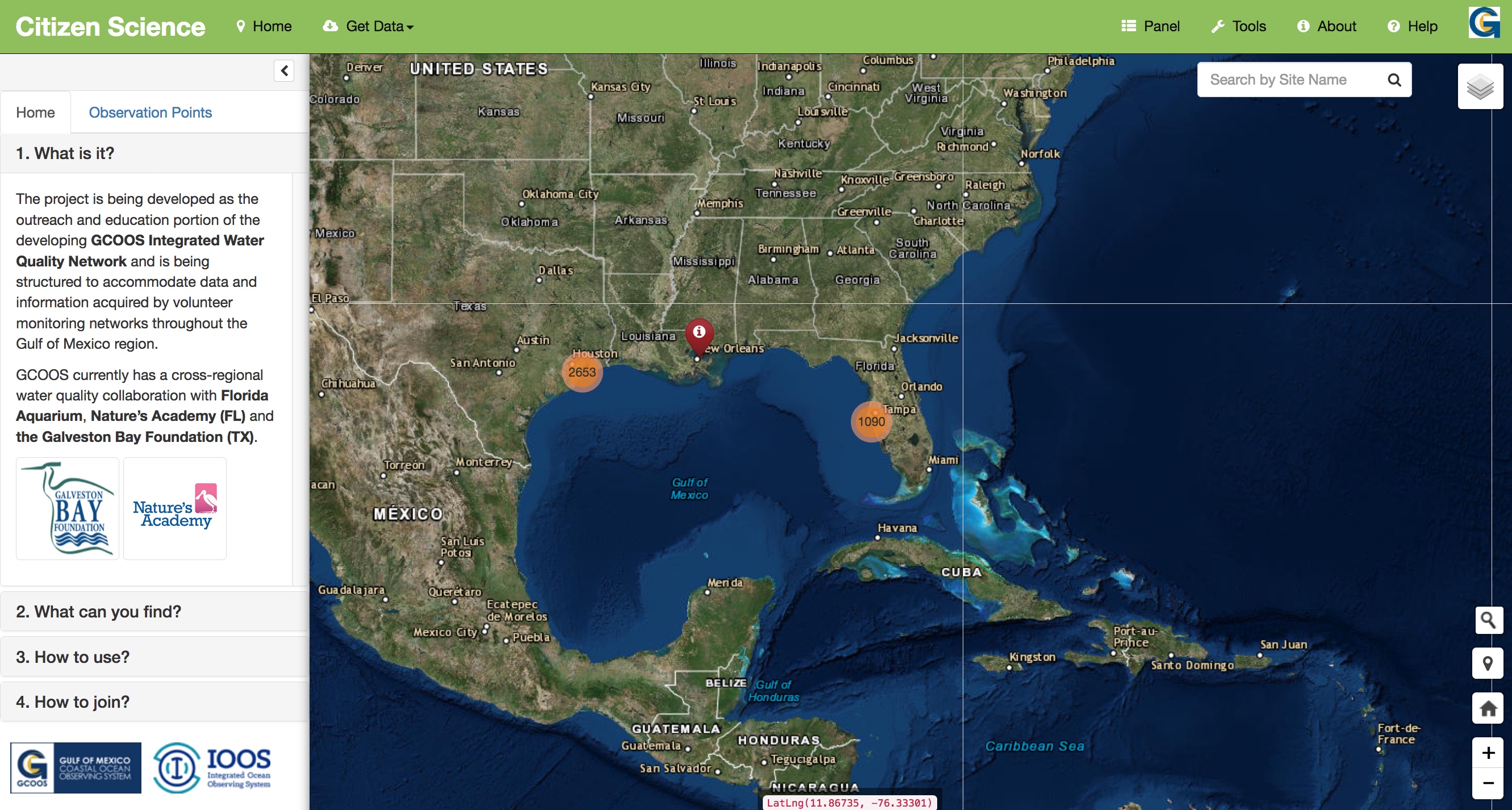
Citizen Science
About this product: Citizen Science Launch Volunteers and students are gathering valuable water quality data all the time. The Citizen...
Read More
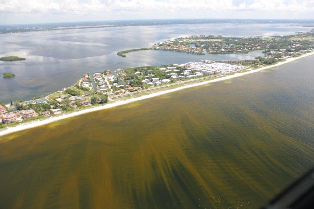
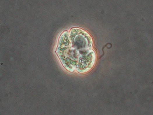
Harmful Algal Blooms
Harmful Algal Blooms There are thousands of species of algae — phytoplankton — in fresh and marine waters worldwide. They...
Read More
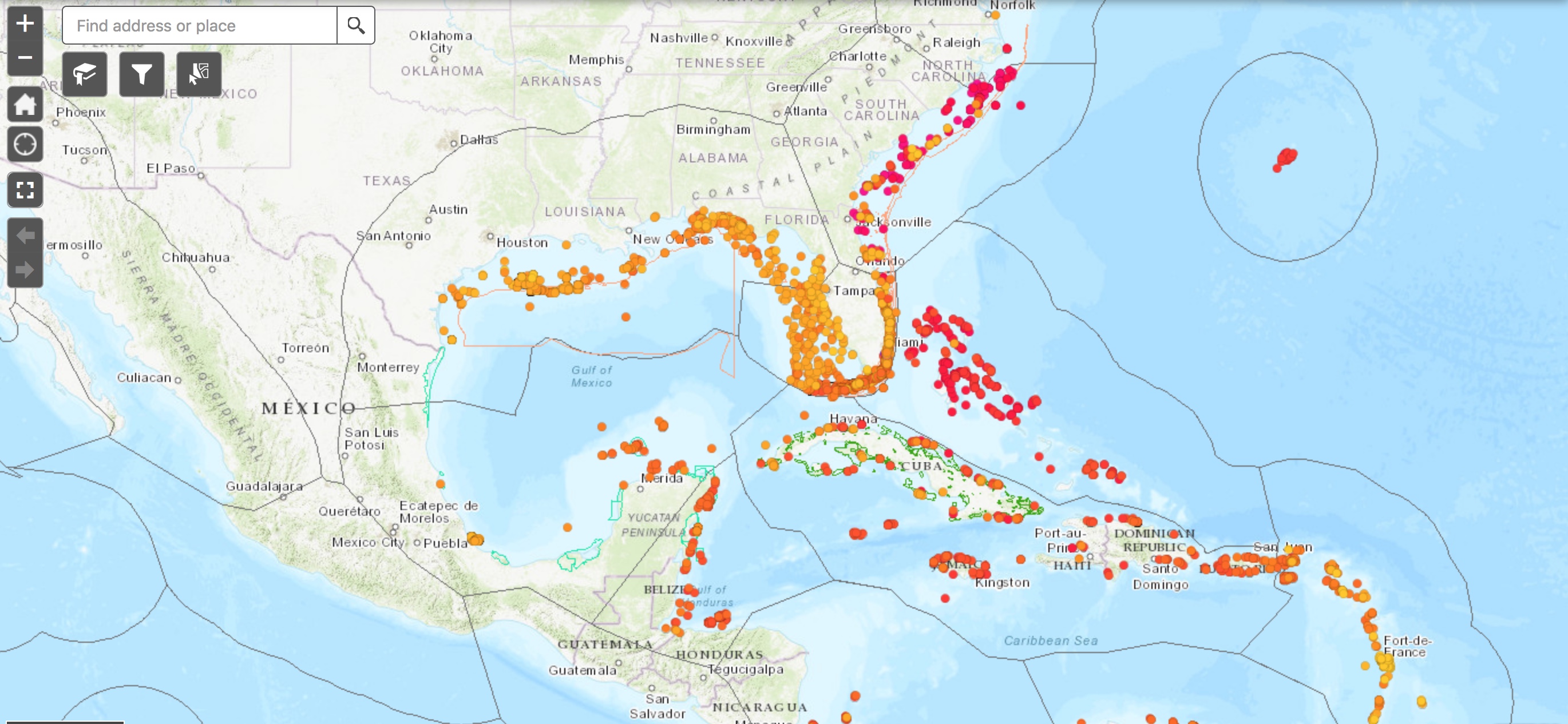
Invasive Species
About this Product: Interactive Maps of Lionfish and Asian Tiger Shrimp Launch Lionfish Viewer Launch Asian Tiger Shrimp Viewer These...
Read More
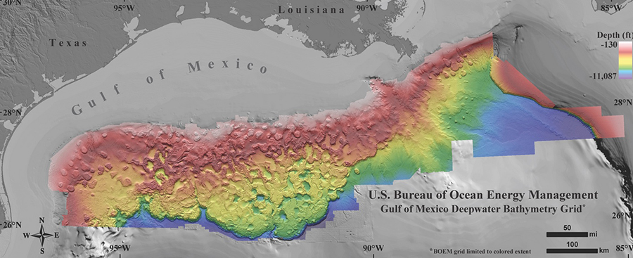
Bathymetry
About this product: Bathymetry Launch Bathymetry is the study of underwater depth and topography. This bathymetry data inventory contains various...
Read More
GCOOS Data Portal
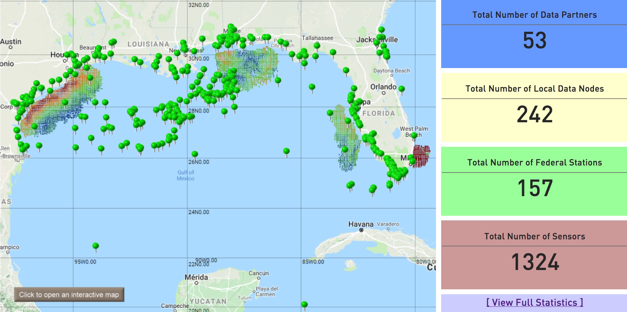
About this Product: GCOOS Data Portal Launch The GCOOS Data Portal is a comprehensive source of near real-time observations in...
Read More
Red Tide Respiratory Forecast
About this Product: Red Tide Respiratory Forecast Launch The Red Tide Respiratory Forecast is a beach-level risk forecast activated during...
Read More
Hypoxia & Nutrients
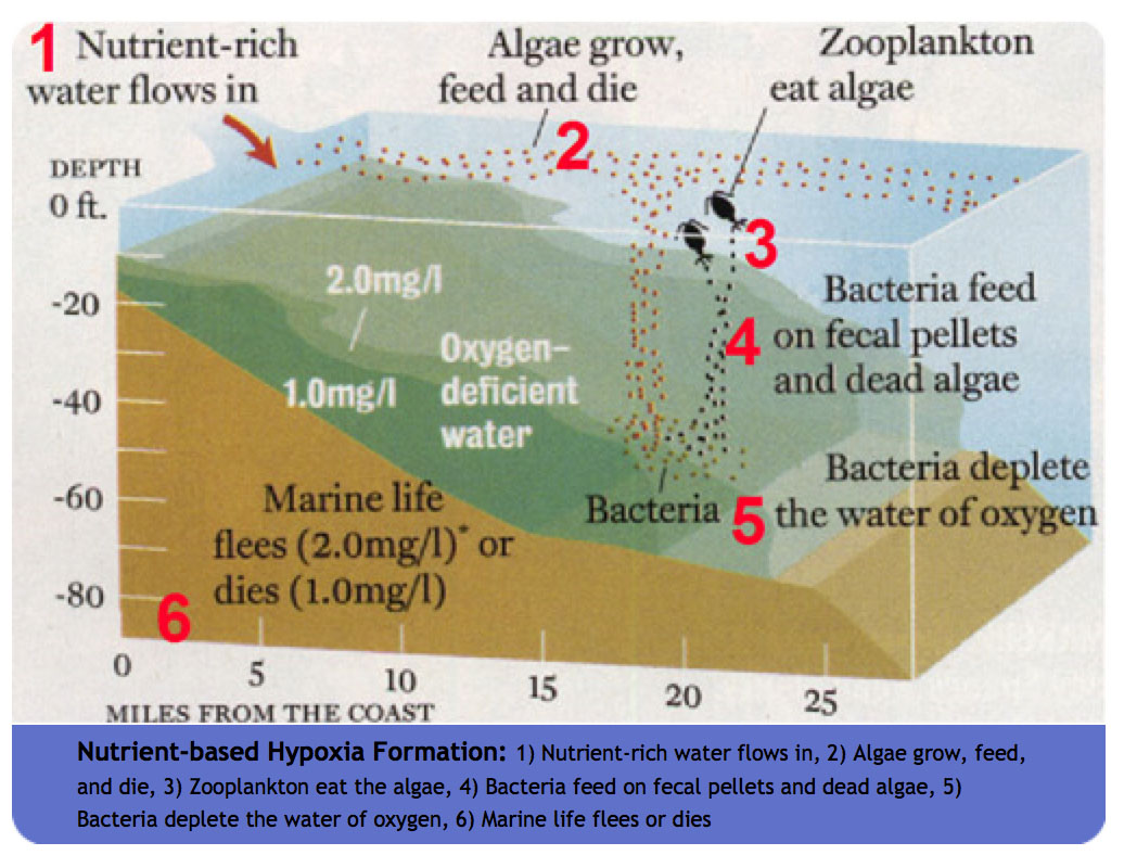
About This Product: Hypoxia & Nutrients Launch The hypoxia & nutrients data portal is a historical collection of data representing...
Read More
Temperature & Salinity Profiles
About this Product: Temperature & Salinity Profiles Launch This is a data archive of mean temperature and salinity profiles for...
Read More
Hurricanes
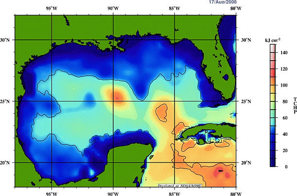
About this Product: Hurricanes Launch This product provides information needed to monitor the strength and movement of tropical systems and...
Read More


