


About this Product: Gliders
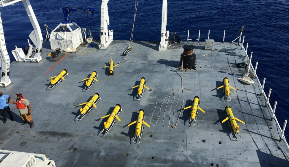
The main feature of this product is a tool that tracks and maps gliders currently deployed in the Gulf of Mexico. Users can see how many gliders are currently in the Gulf, their location and access data being collected by the gliders. Data collected includes water temperature, salinity, dissolved oxygen and other parameters, depending on research needs.
Who is this product for?
Primarily used by glider operators for mapping/tracking ocean gliders on missions and managing the data the gliders collect. May also be of interest to:
- Educators and students focused on oceanography and technology;
- Resource managers
Features
- Map-based viewer of current glider operations in the Gulf of Mexico
- Historical tracks and data from previous glider operations


