GCOOS is the heart of data collection for ocean and coastal waters in the Gulf of Mexico - collecting thousands of data points from sensors and ensuring that the information is reliable, timely and accurate before disseminating it to the ocean sectors that rely on it.
Read More
Ocean acidification (OA) occurs when oceans absorb excess carbon dioxide from the atmosphere, making the pH of seawater lower, or more acidic.
This chemistry change can make it more difficult for marine life to form and maintain calcium-rich structures like the skeletons of corals or the shells of many commercially important shellfish.
(Video by NOAA’s National Ocean Service)
Timely data about the U.S. portion of the Gulf of Mexico and its estuaries from monitored observing stations throughout the region. For use by decision-makers, researchers, government managers, industry, the military, educators, emergency responders and the public.
Please note: GCOOS reserves 3-5 p.m. CT Wednesdays as a maintenance window for data servers, and users may experience an intermittent interruption of data services. If the service is down outside of this time window, please report it to data@gcoos.org.
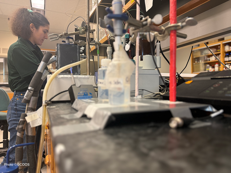
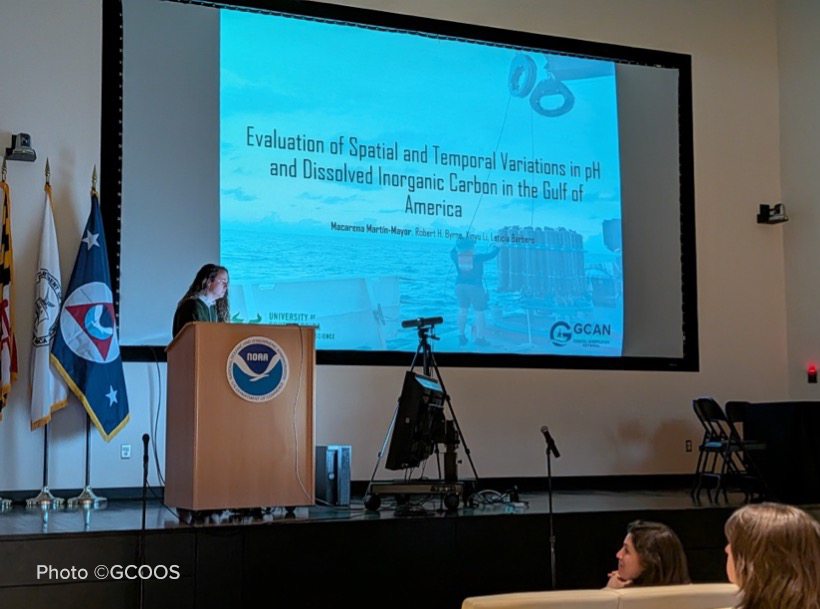
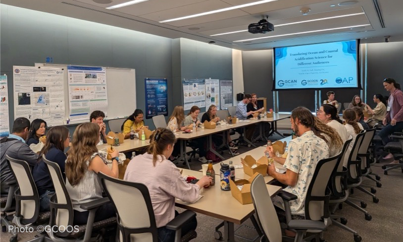
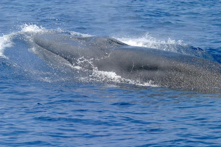
Working with hundreds of stakeholder communities and learning their needs has helped us to develop products useful for everything from ocean navigation and hurricane trajectories to monitoring coastal areas for harmful algal blooms and tracking the movements of invasive species.
Our mission is to provide on-demand information about the Gulf’s coastal and open ocean waters that is accurate, reliable and benefits people, ecosystems and the economy.
Our two main committees are focused on reaching out to stakeholder communities throughout the Gulf — the Outreach & Education Council — and developing the tools they need — the Products & Services Advisory Council. Learn more about the resources available to you.
Resilient coastal communities and our own human well-being depend on healthy ecosystems and living resources. We gather ocean and coastal data that allow for ecosystem assessment and support data portals needed for management decisions.
Marine operations covers everything from recreational boating, fishing and diving to search & rescue, commercial fishing and marine shipping and transportation. We convert real-time ocean observations and models into information that users can easily access and utilize.
14 million people live, work and play along the Gulf of Mexico coast — a region particularly vulnerable to hurricanes, sea level rise and land subsidence. And, with 25,000 miles of oil and gas pipelines and more than 4,000 oil and gas platforms, the Gulf is also vulnerable to contaminant spills. Our data helps to support resilient communities and information needed to track contamination.
A key GCOOS priority is developing the tools and information needed to empower people, communities and businesses to improve decision-making about our lives as we work, live and play along the Gulf Coast. Toxic algae, oil spills, severe weather, dangerous ocean patterns and more are threats to human health and safety that GCOOS data, products and projects are developed to mitigate.
In the long-term, changes to our environment will affect the frequency and intensity of storms and their impacts on low-lying Gulf of Mexico communities. These changes may alter how ecosystems function, force changes in shipping routes and even the availability of ports. Detecting environmental change over time and space is key to weathering the impacts these changes cause.