


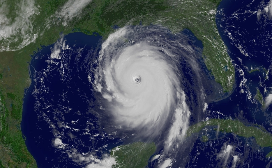
Data from buoys, gliders, satellites, surface-current mapping radars and other sensors play a critical role in hurricane forecasting — from gaining a more clear view of how intense storms are to their projected pathways.
In the Gulf, data gathered from 2,000 or so ocean sensors are collected by the Gulf of Mexico Coastal Ocean Observing System (GCOOS), where we ensure that the information is timely, reliable, accurate and — above all — available to those working to understand ocean systems and subsequently provide better forecast data to save lives and protect coastal economies during hurricanes. GCOOS is the only comprehensive data collection and dissemination center for coastal and ocean data in the Gulf and our partners come from the federal, state, local and private sectors.
“In the ocean observing community, we know that the tools and technologies we bring to bear to help forecast the strength and movement of these storms saves lives and that our predictions have greatly improved over time,” says GCOOS Executive Director, Dr. Barbara Kirkpatrick. “We also know that having more ocean observing assets in place, as called for in our 2017-2022 Strategic Plan, could only make things safer for all Gulf communities. At GCOOS, we continue to advocate for funding to support these tools.”
GCOOS has a web product with comprehensive information on hurricane forecasts and preparation and links to state resources.


