

The GCOOS
OceansMap
Hundreds of sensors.
Millions of data points.
One interactive platform to transform them all.
Explore ocean observations, environmental forecasts, and geospatial data from across the Gulf using one interactive platform: OceansMap.
Launch OceansMap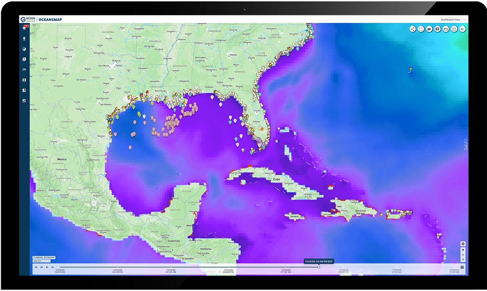
From Ocean Data to Real-World Action
The new GCOOS OceansMap is an interactive platform that feeds data from hundreds of ocean and coastal sensors in the Gulf into a single map where it can be used for analysis, modeling and visualization. Developed in collaboration with Tetra Tech, OceansMap provides multiple types of data on a single map viewer, allowing you to examine how conditions change over time, compare observations with forecasts and create customized views tailored to your own interests or needs.
Getting Started
Among OceansMap’s features are interactive maps, customizable data layers, time-series graphs and tools for comparing observations with forecast models. Users can examine historical and forecast conditions, save locations of interest, generate visualizations and download selected information.
The OceansMap Share tool also allows users to create customized map views and generate a unique link that can be shared with colleagues or others, who can then see the same information and settings simply by loading the link. This capability supports collaboration among scientists, resource managers and operational teams working in different locations.
Watch the tutorial for an introduction to OceansMap.
Explore More GCOOS Data Products
BSEE/NTL Data
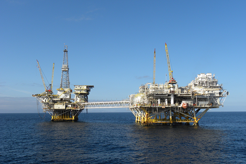
Since 2021, GCOOS has been hosting the Bureau of Safety and Environmental Enforcement (BSEE) Notice to Lessees and Operators (NTL) data. This portal provides offshore operators, researchers and managers with access to crucial oceanographic/metocean (meteorological and oceanographic) data required by BSEE regulations, and transforms it into an actionable resource for both industry compliance and broader environmental stewardship and safety. Features include: selective plotting of active and inactive stations; visualization of the latest HYCOM model (ESPC-D-V02); representation of Argo floats; integration of high frequency radars (HFRs) and gliders.
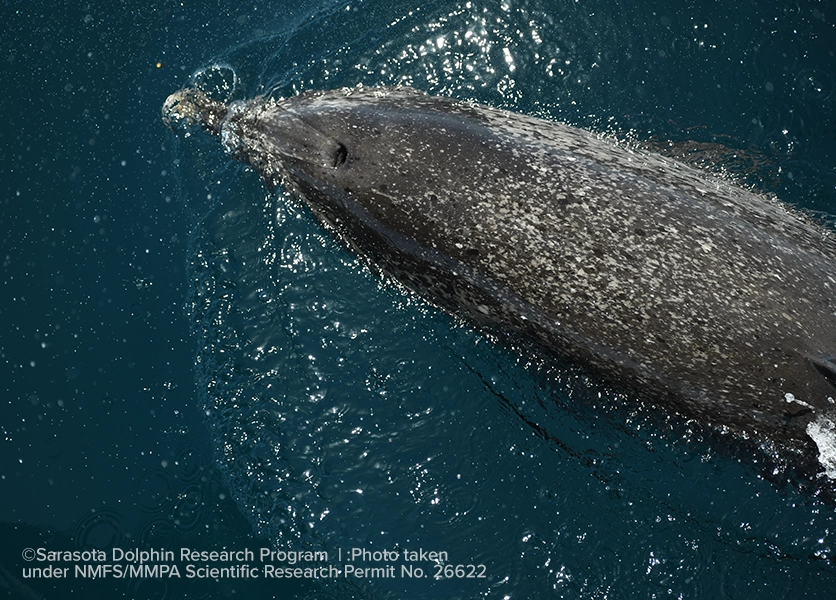
CETACEAN
In 2024, GCOOS launched the CETACEAN (Compilation of Environmental, Threats, and Animal Data for Cetacean Population Health Analyses) data portal. This collaborative project is focused on helping to restore offshore cetacean populations in the Gulf injured during the Deepwater Horizon spill. This geospatial data repository is populated with more than 400 data sources offering information on cetacean populations in a single, searchable location. The repository also includes data on species stressors as available. The project is supported through the Natural Resource Damage Assessment (NRDA) Open-Ocean Restoration Area funds from the Deepwater Horizon Oil Spill with NOAA as the Lead Implementing Trustee.
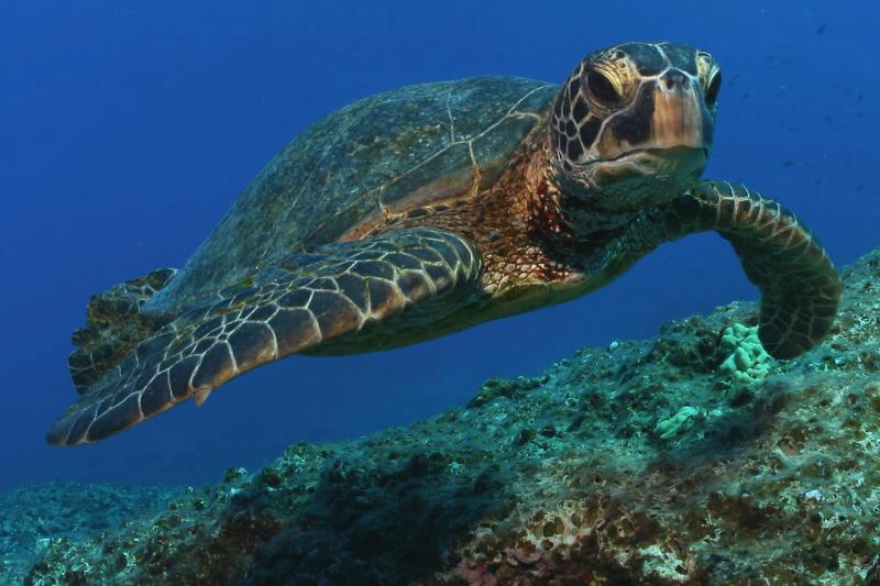
Sea Turtle Atlas
The Sea Turtle Atlas is a centralized repository of sea turtle data from the Gulf of America that includes information on all five Gulf species along with stressors and analytical products. The Atlas, funded by the Deepwater Horizon Open Ocean Trustee Implementation Group, encompasses the entire Gulf as well as other regions as necessary. It has a special focus on data that helps to further the understanding of leatherback sea turtle habitat use; loggerhead, green and Kemp’s ridley movements and their use of Louisiana coastal waters and the overlap of sea turtle nesting and mating habitat near Port Aransas, Texas.
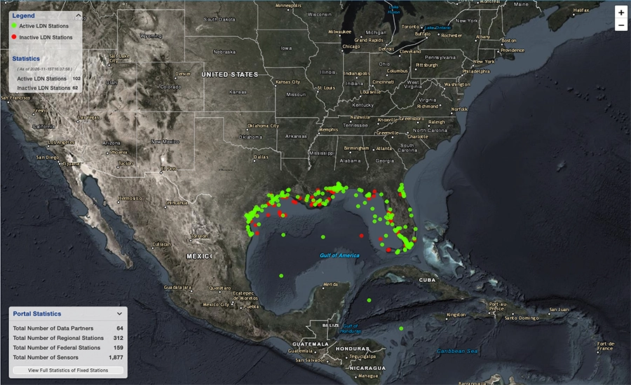
Local Data Node (LDN) Data Repository & Registry
GCOOS and its 64 data partners deliver ocean observing data from nearly 2,000 sensors in the Gulf that are accessible in a variety of ways. The LDN provides access to real-time and near-real time data via Web Accessible Folder (WAF) and ERDDAP (Environmental Research Division’s Data Access Program). Via WAF, you can browse and download full oceanographic datasets stored in the GCOOS Long-term Data Repository. Files are organized in folders for direct access, making it easy to locate and retrieve data for research and analysis. ERDDAP allows you to select specific variables, locations and time periods, and retrieve data in formats suitable for analysis and visualization.
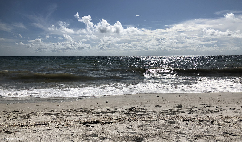
All Things Beaches
In 2023, GCOOS launched a one-stop shop for information beachgoers need to have a fun, safe day at a Gulf beach: All Things Beaches — the Gulf Beach Guide. The interactive guide includes beaches that are regularly monitored and tested for water quality in coastal Texas, Louisiana, Mississippi, Alabama and Florida’s west coast and provides information about weather alerts and rip currents, beach amenities and more.
Marine Heatwave Dashboard
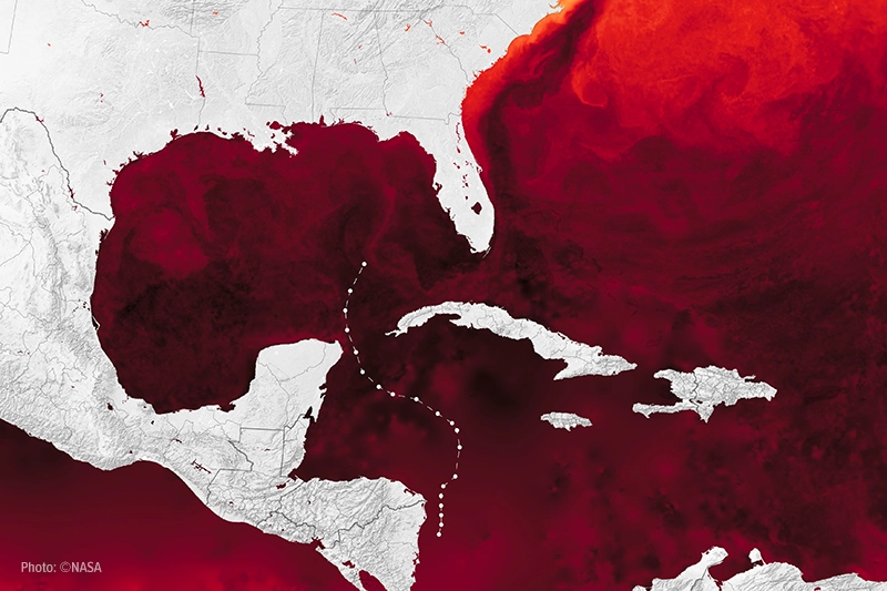
Marine heatwaves — extended periods of higher-than-normal ocean temperatures — have myriad impacts on coastal and marine ecosystems, communities and industries. GCOOS has developed a series of reports “Gulf and Caribbean Marine Heatwave Impacts” discussing various heatwave economic, social/cultural, health, governance and species/ecological impacts in the region as well as a Marine Heatwave Dashboard that includes an interactive analysis tool that allows users to analyze marine heatwave data from Gulf monitoring stations.
Have Data to Contribute or Questions About OceansMap?
Contact us to share your data or request a new insight for OceansMap