President’s Budget Proposes 76% Cut in IOOS Funding.

Featured News

Gulf Operators Ready for Hurricane Season

By:
Posted: May 14, 2021
Category: Featured News

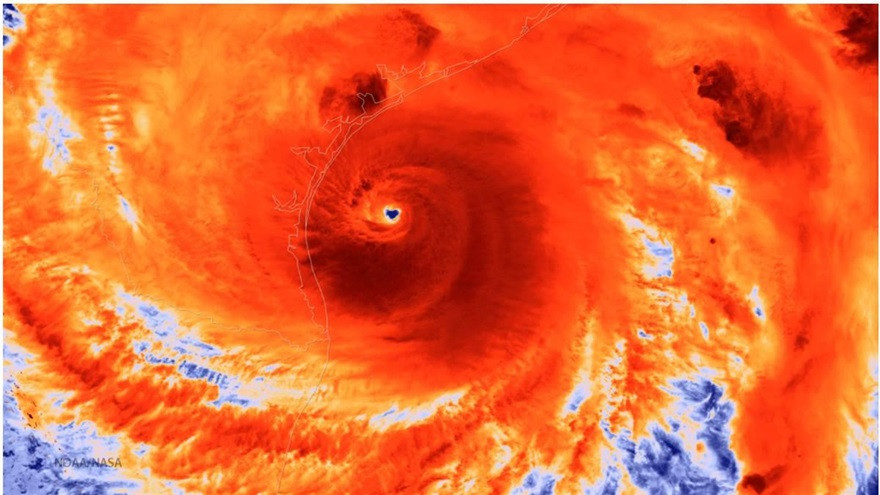
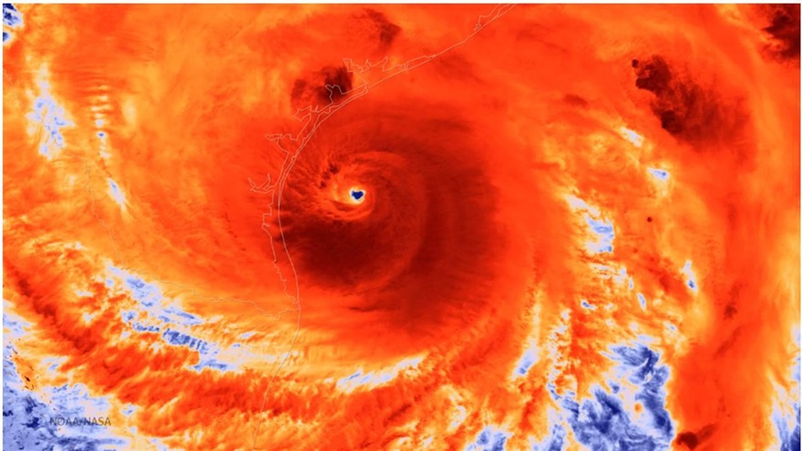
The official start of the Atlantic hurricane season here, with NOAA predicting a likely range of 13 to 20 named storms with winds 39 mph or higher for 2021. Six to 10 could become hurricanes (with winds 74 mph or greater), including three to five storms rated category 3 or higher with wind speeds of 111 mph or greater.

We asked Kerri Whilden, GCOOS Oceanographer and Assistant Research Scientist at the Geochemical & Environmental Research Group at Texas A&M University, to give us an overview of what’s been happening behind the scenes to prepare and what the plans are for glider deployments in the Gulf.

Q: How are ocean observers in the Gulf preparing for the upcoming hurricane season?

After the record-breaking 2020 hurricane season, I think we all breathed a sigh of relief but the work never stopped. In the off-season we’ve been assessing damage, making repairs, servicing equipment, and calibrating sensors to get operational observing systems fully functional as quickly as possible. Ahead of the 2021 season, we’re conducting bench tests as needed, checking real-time data flow, and hardening the systems as much as possible.

Q: Is there coordination among Gulf operators?

Absolutely. There has been coordination on the regional and national level. GCOOS glider operators have met as a group every two weeks throughout the 2020 hurricane season through the off-season. There are also calls for the National Hurricane Glider Program, which includes Gulf participation. During these meetings, we discuss deployment strategies, coordinate observations, and give status updates. GCOOS high frequency radar operators have also started meeting regularly as we head into the 2021 hurricane season.

Q: What’s the deployment plan for the 2021 hurricane season?

Buoys, platforms, and high frequency radar stations in the Gulf of Mexico strive for year ‘round operations with sustained funding and maintenance from various industry, government, and academic partners. During hurricane season, high frequency radar operators in the Gulf of Mexico often have to weigh the risk posed to the system versus the ability to collect data during the extreme event. Oftentimes, power is lost to the system just prior to landfall, and a direct hit from a major hurricane could result in complete system loss if radars are left to operate during the storm. This then limits the ability to collect data post-storm until the system can be repaired or replaced. In the long term, there is a lot of interest in hardening these systems to withstand these extreme events.

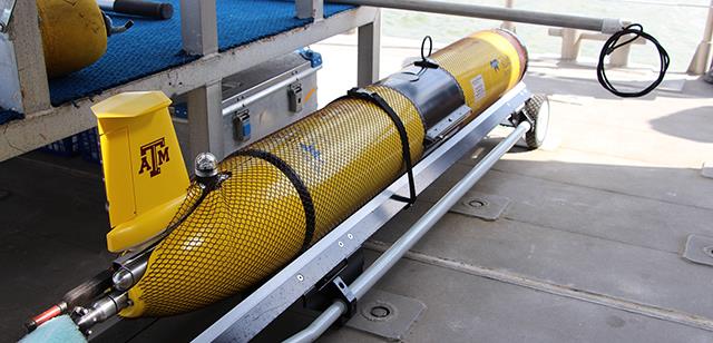
Glider missions in the Gulf of Mexico have also been supported by industry, government, and academic partners with typical durations ranging from 30 to 90 days. While there are scheduled, near year ‘round glider observations on the west Florida shelf, this has not traditionally been the case for other areas in the Gulf. Glider missions have been targeted around peak hurricane season (August-October) within essential ocean features in the Gulf of Mexico, with particular focus on the Loop Current System (LCS). Tropical cyclone interaction with the LCS has been linked to rapid intensification due to high upper ocean heat content. The goal of these glider missions (specifically during hurricane season) is not to chase storms but rather collect in situ data within LC eddy features, offshore of the Mississippi River, and on the continental shelf to provide ocean data ahead of a storm. These in-situ data are transmitted in near-real time for assimilation into forecast models for hurricane trajectory and intensity. Having a storm pass over a glider is an added bonus.

Q: Where can we learn more about observations in the Gulf of Mexico?

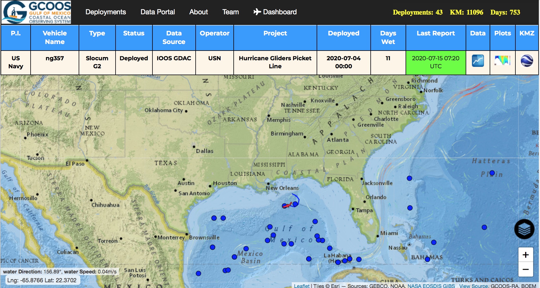
You can follow the progress of gliders in the Gulf of Mexico (and beyond!) at gandalf.gcoos.org. GANDALF is a great glider pilot tool for visualizing data and making piloting decisions with obstruction, satellite, and model layers available. In addition, GCOOS is now the data repository for Gulf of Mexico oil and gas platforms with data available at ntl.gcoos.org. These locations as well as other buoys, platforms, and high frequency radar stations with data are shown at data.gcoos.org.

And don’t forget to check out our hurricane resources page for all the latest storm developments.

Share this on social media

^