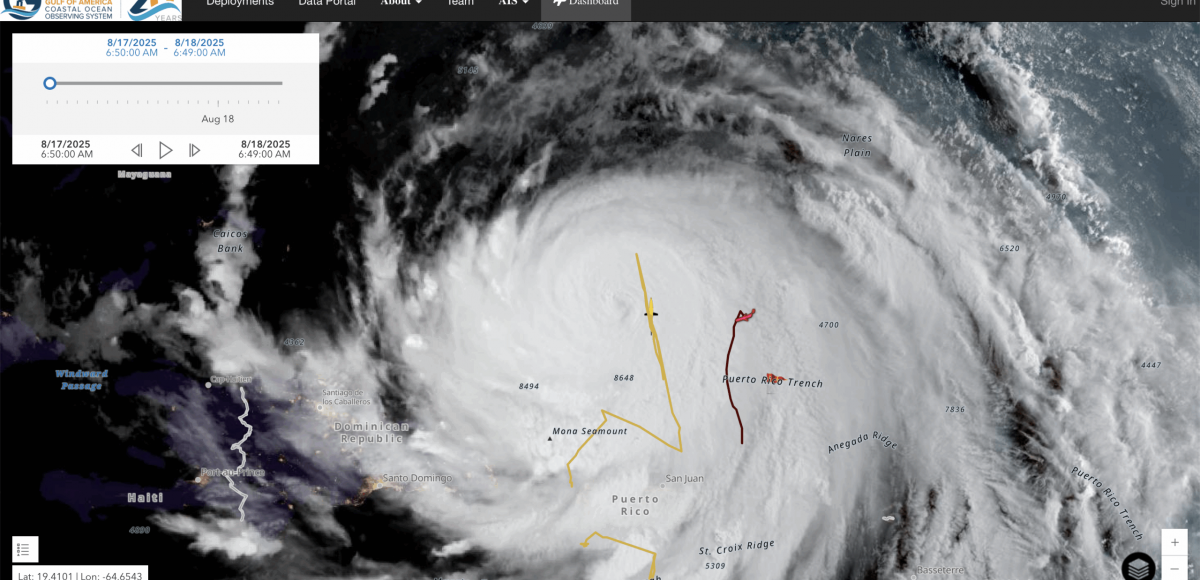
The first named hurricane of the 2025 season was Hurricane Erin, which cranked up intensity from a Category 1 to a Category 5 storm in just 24 hours — much the way Hurricane Ian did in 2022. We asked expert and GCOOS Board Member Dr. Nick Shay,  Professor in the Department of Ocean Sciences and Director of the Upper Ocean Dynamics Laboratory/WERA Operations in the University of Miami’s Rosenstiel School of Marine, Atmospheric and Earth Sciences, for his insights about the conditions needed for rapid intensification (RI). This is what he shared:
Rapid intensification (RI) involves several factors, including a well-developed inner core circulation, low to moderate shear in the atmosphere, moist air, a well-developed anticyclonic exhaust fan in the troposphere (similar to Michael in 2018 at landfall), air-sea interface fluxes of heat and moisture, and warm ocean temperatures.
RI doesn’t always occur despite having many of these key ingredients (typically 10 to 15% of the time). However, when conditions are right, storms can explode and deepen fairly quickly. The problem is that it often occurs within 24 to 36 hours of landfall, leaving little or no time for John and Jane Q Public to prepare.
An indicator of RI is associated with eyewall replacement cycles (ERCs) where storms go through a brief decrease in intensity as the inner eyewall begins to collapse and an outer eyewall develops. As time evolves, the outer eyewall becomes the new eyewall that moves closer to the center of circulation. Just like a skater on ice bringing their arms closer to their body to spin faster, winds accelerate as the outer eyewall moves closer to the center of circulation.
A second important aspect of the ERC is that the wind field broadens. Most of the really intense hurricanes go through these cycles, so it’s something to watch for. For example, Ian went through an ERC over the west Florida Shelf in 2022 (Irma in 2017 went through seven ERCs just prior to landfall in the lower Keys). We have found that successful ERCs often occur over the Loop Current and warm core eddies.
This issue of a broadening wind field cannot be overstated, especially when the forward speed of a storm decreases and coastal areas are subjected to strong winds for prolonged periods of time. Helene (2024) is such an example where the center of circulation was 150 to 200 miles from the coastline. However, strong tropical storm force winds over a prolonged period still induced a storm surge for residents along Florida’s west coast.
Hurricanes come in different flavors and no two are identical, yet they can induce significant damage from winds and surges (and severe weather).