Making hurricane predictions is all about having data — and being able to access accurate information quickly and easily.
For the third year in a row, the Gulf of Mexico Coastal Ocean Observing System (GCOOS) is working with teams in Florida, Mississippi and Texas to track and share data from a “glider picket line” in the Gulf. The picket line is a series of unmanned underwater robots, also known as gliders, set loose in the Gulf, Caribbean Sea and Atlantic that are programmed to collect information on ocean parameters from areas where tropical storms and hurricanes typically form or strengthen.
The robots collect data from throughout the water column — from the sea surface to its depths — to map ocean heat content, which is a critical factor needed to predict a storm’s intensity. The gliders enhance the information available from satellites, which can only take the temperature of the ocean’s surface.
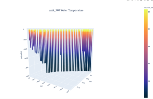
Then, the gliders transmit their data in near-real time via satellite to GCOOS, where it is automatically processed and output in maps that show the gliders’ locations and includes 3D profiles of temperature and other parameters, such as salinity. Meteorologists can then feed the data into hurricane models to generate forecasts showing where storms are likely to go and how intense they might become.
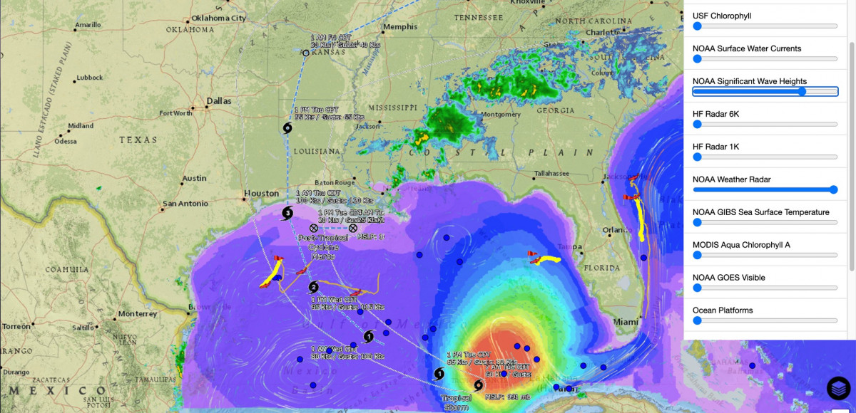
With Marco having dissipated to a tropical depression and Laura still predicted to strengthen into a dangerous hurricane before making landfall late Wednesday or early Thursday, tracking ocean heat content is critical.
“Having two named storms in the Gulf of Mexico at the same time is extremely unusual — we’ve only recorded that twice before, in 1933 and 1959,” said Brian LaMarre, NOAA’s regional collaboration team lead for the Gulf of Mexico and meteorologist-in-charge of the National Weather Service Tampa Bay office. “The additional information that we’re gaining from the picket line, combined with GCOOS’ innovative tools can help add valuable data to improve forecasting and give the public as much advance notice of storms as possible so they can make appropriate decisions for their safety.”
GCOOS’s mission is to provide timely, reliable and accurate information on the open ocean and coastal ocean waters of the Gulf of Mexico to ensure a healthy, clean, productive ocean and resilient coastal zone. It works with governmental and nongovernmental organizations, universities, research laboratories and emergency managers throughout the Gulf of Mexico to collect and share data. In this case, GCOOS is tracking gliders piloted by the U.S. Navy, the University of South Florida, the University of Southern Mississippi, Texas A&M University’s Geochemical and Environmental Research Group, and NOAA’s Atlantic Oceanographic and Meteorological Laboratory.
“As we move into the busiest part of our annual hurricane season in the Gulf, it’s important that forecasters have access to the most accurate, timely data possible and it’s great to see public-private partnerships making this happen,” said Dr. Barbara Kirkpatrick, GCOOS Executive Director. “Currently, there are three gliders in the picket line that are very near Laura’s track that are providing important information that we need to protect lives and property in the Gulf. Residents should stay alert and stay safe.”
- The public can follow the glider picket line here: https://gandalf.gcoos.org

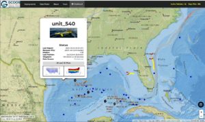
The image above shows location of glider 540 on the GCOOS glider map. 540 is,near the projected path of Hurricane Laura. The image below shows a 3-D snapshot of the water temperature data that 540 is gathering.


