Tuesday’s Subcommittee Hearing included bill H.R. 2294 to reauthorize the Integrated Coastal and Ocean Observation System Act
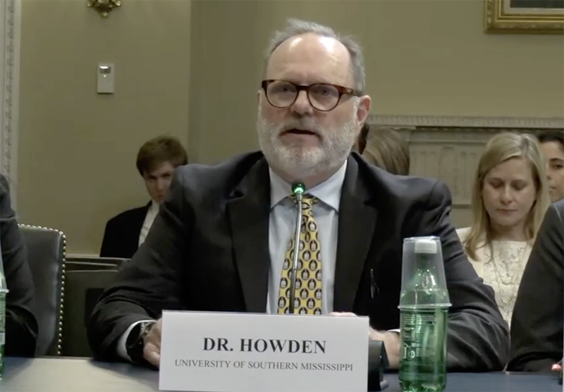
On Tuesday, May 20, GCOOS Board Member Dr. Stephan Howden ![]() testified in support of the reauthorization of the Integrated Coastal and Ocean Observation System Act. This legislation, enacted in 2009 and reauthorized in 2020 under the first Trump administration, created the Integrated Ocean Observing System (IOOS) and developed the nationwide network dedicated to providing critical infrastructure that supports national security, economic resilience, efficient maritime commerce and public health and safety.
testified in support of the reauthorization of the Integrated Coastal and Ocean Observation System Act. This legislation, enacted in 2009 and reauthorized in 2020 under the first Trump administration, created the Integrated Ocean Observing System (IOOS) and developed the nationwide network dedicated to providing critical infrastructure that supports national security, economic resilience, efficient maritime commerce and public health and safety.
Dr. Howden, Professor at the University of Southern Mississippi and Director of the Hydrographic Science Research Center who has helped lead GCOOS for more than two decades, testified before the Water, Wildlife and Fisheries Subcommittee of the House Committee on Natural Resources. The bipartisan H.R. 2294 was introduced on March 24 by Rep. Mike Ezell (R-MS), with co-sponsors Suzanne Bonamici (D-OR), Randy Weber (R-TX), Debbie Dingell (D-MI), Aumua Amata Coleman Radewagen (R-AS), and Danny K. Davis (D-IL). The bill has gained 15 additional bipartisan sponsors since its introduction. The legislation would reauthorize IOOS for the next five fiscal years, maintaining its authorized funding level at $56 million annually.
“IOOS is one of the most cost-effective, impactful federal programs supporting our ocean, coasts, and Great Lakes,” Dr. Howden testified. “It’s a cross-sector, bipartisan success story. And reauthorizing it is not just smart policy—it’s essential for public safety, national defense, economic growth, and resilience… In recent years, we’ve deployed ocean gliders — low-power, autonomous vessels that measure heat content in the upper ocean. Why? Because storm intensity is still the hardest part of hurricane forecasting, and the temperature of the ocean is a major factor driving its intensity. It has been shown that these gliders are cost-effective and capable of helping NOAA’s National Hurricane Center improve intensity forecasts by up to 50%. That means more accurate warnings, better evacuations, and billions in potential savings. IOOS is not just about science and data. It’s about safety, sovereignty, and smart governance. Reauthorizing this critical law is a win for our nation.”
- Watch Dr. Howden’s testimony below. Read his full remarks here.
The bill ensures continued support for critical ocean monitoring efforts that benefit coastal communities, fisheries, and maritime industries. “IOOS is essential to keeping coastal economies strong and resilient, especially in Mississippi,” Ezell said at the bill’s introduction. “This reauthorization ensures we maintain vital ocean monitoring resources while modernizing the program to maximize its impact. I’m proud to introduce this legislation to support jobs, commerce, and our nation’s leadership in ocean science.”
IOOS provides the backbone that allows 11 regions across the U.S. to gather the data needed to support the nation’s blue economy.
GCOOS — the Gulf of America Coastal Ocean Observing System — is the association focused on gathering and disseminating data in the Gulf region. It is a 501(c)3 organization responsible for developing a network of business leaders, marine scientists, resource managers, governmental and non-governmental organizations and other stakeholder groups that collect and combine their data to provide timely and reliable information about our oceans — similar to the information gathered by the National Weather Service to develop weather forecasts. GCOOS has 36 principal investigators and 62 partners providing data from 1,730 sensors via 447 regional and federal stations, and 181 institutional and individual members.
The data that GCOOS hosts and disseminates:
- Provides critical environmental parameters for offshore energy structure design and safe operations, as well as maritime shipping in and out of ports in the Gulf of America — keys to supporting safety and security for the largest sub-sector within the Gulf region’s marine economy/GDP. Its data also provides crucial support for U.S. Coast Guard search and rescue operations.
- Helps hurricane modelers predict storm development, intensity and landfall — even as storms are moving — to help keep communities safer from high winds and storm surge by leading a national initiative focused on gathering and disseminating data from uncrewed systems operating in the Gulf and Atlantic.
- Protects coastal tourism economies by delivering www.RedTideForecast.com that visitors, residents and businesses in Florida and Texas can use to avoid red tide impacts on more than 40 beaches and “All Things Beaches,” a one-stop, searchable guide covering weather, water quality, visitor info and more for beaches from Texas to Florida that gives tourists and residents information they need to have a fun, safe day at any Gulf beach. Online at www.GCOOS.org/all-things-beaches.
After the hearing, GCOOS Executive Director Dr. Jorge Brenner said that “without the GCOOS network, disaster forecasting and preparedness in Gulf states will suffer and the 67 million residents in our states — including some 15 million who live directly along the coast — will face greater risks from flood, wind and HAB events that threaten public health and safety. Our offshore energy and maritime shipping sectors will suffer without the real-time information on ocean conditions that we gather and the quality control we perform on the data we collect and disseminate. We will also lose the real-time ocean current data gathered through the high frequency radar network that helps the U.S. Coast Guard respond quickly and effectively to emergencies at sea and carry out search and rescue missions and spill management. We can’t stress the importance of this bill for the Gulf region and our nation.”