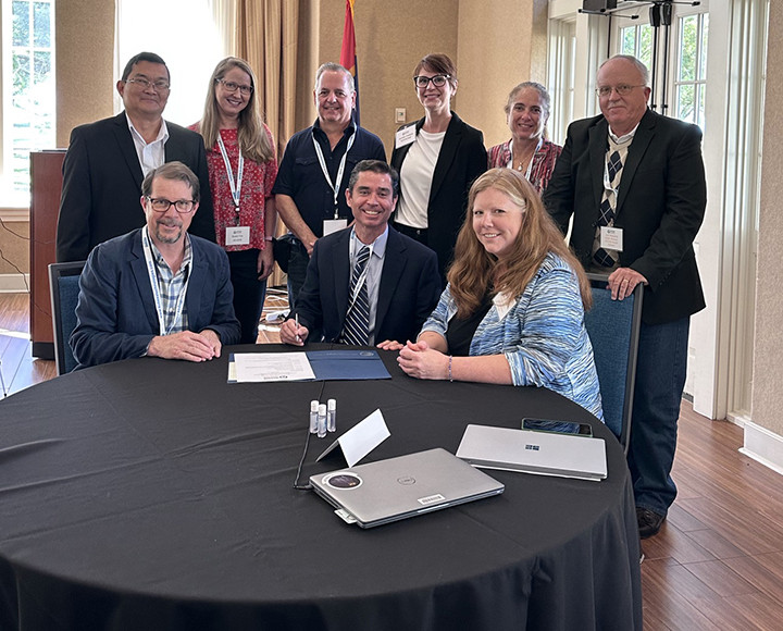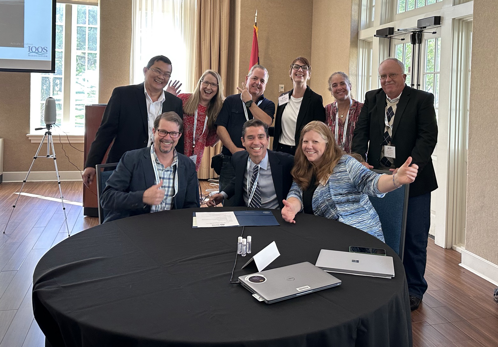
When forecasters are predicting the next hurricane, rescuers are seeking information on currents in the Gulf of Mexico or clean-up crews are trying to map movements of the next oil spill, they can rest assured of one thing: They can rely on the real-time and near real-time data provided by the Gulf of Mexico Coastal Ocean Observing System (GCOOS) because it has been certified to meet the highest quality standards possible.
GCOOS has been officially recertified for the next five years by the U.S. Integrated Ocean Observing System (U.S. IOOS®) and the National Oceanic and Atmospheric Administration (NOAA). Recertification means that GCOOS continues to meet the gold standard for data gathering and management and operates inclusively, transparently and seeks user input to determine system priorities.

GCOOS is one of 11 Regional Coastal Observing Systems (RCOS), which operate across the U.S. and have implemented specific data collection and management practices, including following a thorough vetting and documentation process. Recertification means that GCOOS data continues to hold the same quality assurance as data coming from federal agencies.
“Certification is a sign of excellence in data management and governance,” said Carl Gouldman, U.S. IOOS Director. “Recertification means that GCOOS continues to maintain those high standards to provide high quality, reliable data, and that IOOS and NOAA stand behind GCOOS’s operational standards.”
GCOOS, an independent, nonprofit organization housed at Texas A&M University, is the only certified observing system whose sole focus is on the coastal and ocean waters of the Gulf of Mexico. The organization includes 58 academic, governmental, nongovernmental and industry data partners, and hosts data from more than 1,600 sensors (https://data.gcoos.org) throughout the Gulf. The organization also develops and deploys tools designed to support data collection and dissemination and applications that improve public access to life-improving information.
“The Gulf of Mexico holds 20% of the nation’s oil reserves and hosts 45% of the nation’s petroleum refining capacity,” said Kirsten Larsen, Chair of the GCOOS Board of Directors. “The Gulf’s fishery also accounts for $24 billion in sales annually and it has 13 of the nation’s top 25 busiest ports. Plus, more than 15 million people call the Gulf Coast home.
“With such a concentration of diverse industries, and such a large population at risk from events like tropical storms and hurricanes, it is crucial to public health and safety and our nation’s economy to have timely, reliable and accurate ocean and coastal data. This recertification means that Gulf coast residents can rely on the data and information that GCOOS provides.”
While Gulf coast residents may not always realize it, GCOOS data impacts their lives in large and small ways almost every day, said GCOOS Executive Director Dr. Jorge Brenner. “The data our partners collect and that we disseminate is crucial for things like predicting storm intensification, supporting a safe offshore energy industry and even keeping people safe from toxic algae blooms.”
For instance, GCOOS plays a key role in managing Gulf-wide deployments of autonomous underwater vehicles, known as underwater gliders, during the June-November Atlantic hurricane season. These gliders are designed to collect a variety of oceanic data, including information on ocean temperatures from the water’s surface to its depths. Temperature is key to predicting how intense tropical storms could be. GCOOS also developed a dashboard (https://gandalf.gcoos.org) that allows glider operators to visualize the data and track their vehicles in real-time.
GCOOS also worked with partners at NOAA and other local and state agencies to develop the Red Tide Respiratory Forecast (www.redtideforecast.com), which is activated during red tides in Florida and Texas and helps coastal residents know whether impacts from red tides will be affecting individual beaches. Avoiding red tide impacts is especially important for people with chronic lung conditions such as asthma or COPD. Data used to create the forecast is collected by a volunteer team managed by GCOOS using HABscopetm 2.0. This special microscope system, currently under patent review, was also developed by GCOOS.
“Building a robust, sustained, operational system to integrate physical, meteorological, biogeochemical, biological, bathymetric and other types of data is the GCOOS mission, but we couldn’t implement it without great partnerships across the Gulf,” Brenner said. “Meeting such high data standards says as much about us as it does each and every one of our data partners and investigators and we thank them for their efforts as well.”


