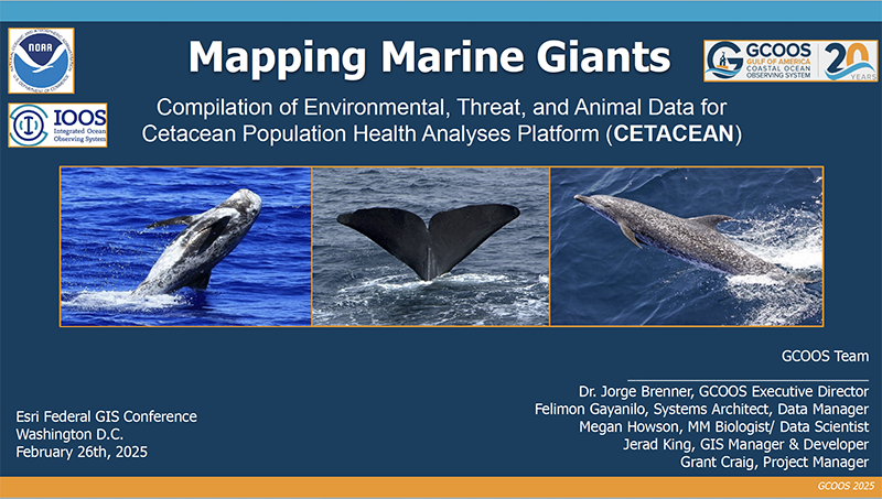
GCOOS GIS Manager Jerad King gave a presentation at the February 2025 Esri Federal GIS Conference during the opening plenary of the Oceans, Weather and Climate Summit. “Mapping Marine Giants” focused on the story of the CETACEAN Data Portal, created in the wake of the Deepwater Horizon Oil Spill, one of the worst environmental disasters in history.
CETACEAN, funded and guided by the Natural Resource Damage Assessment (NRDA) Trustee Implementation Group (TIG) and NOAA, was created as a portal for cetacean data that would support research, conservation, and policy restoration for open-ocean cetacean species in the Gulf.
The platform developed by the GCOOS GIS team uses an ArcGIS Hub populated with hundreds of meticulously processed datasets that consolidates threat and environmental data with decades of geospatial data on key cetacean populations, allowing scientists, conservationists, offshore industry, policymakers and resource managers to access and visualize critical species distribution and migration information.
By leveraging the ArcGIS ecosystem, GCOOS is not only able to meet the project requirements but exceed them. With the value provided to GCOOS and our users by the ArcGIS ecosystem, GCOOS has put a considerable amount of effort into crafting datasets to serve users and, through the use of hosted feature services, we ensure users can integrate the data services into their existing workflows. With highly interoperable data, we provide users the ability to conduct their work both within and outside of the ArcGIS ecosystem.
- Check out King’s presentation slides here