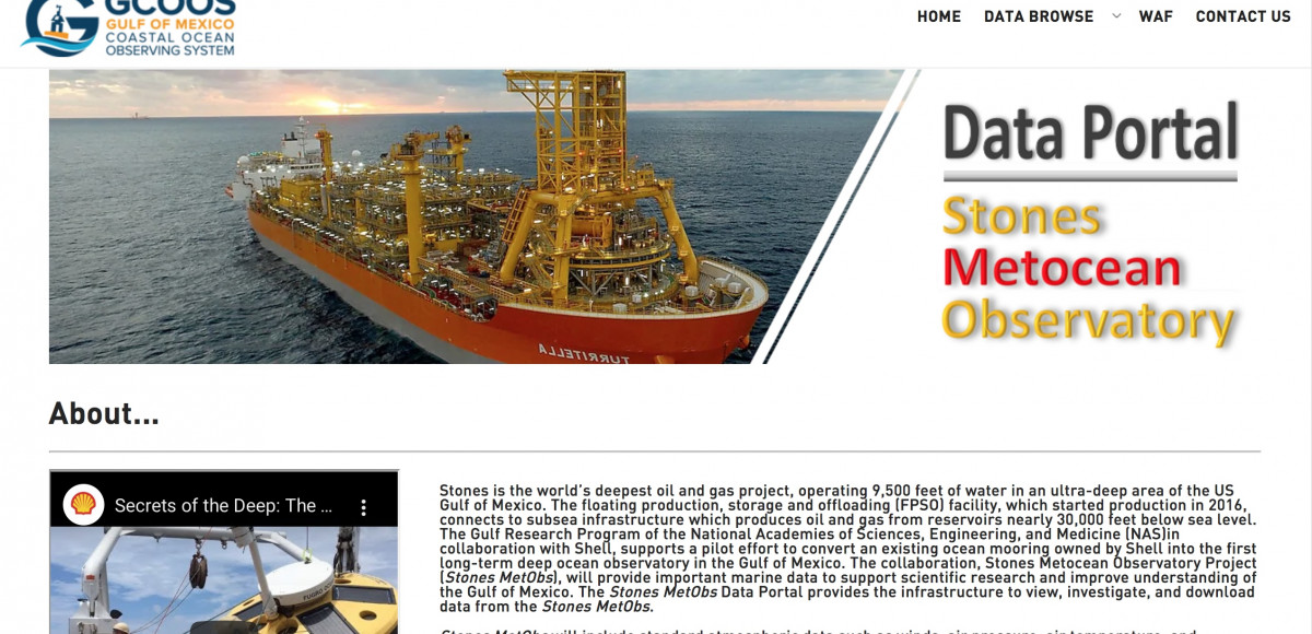
About this Product: Stones Metocean Observatory Project
Stones Metocean Observatory Project (Stones MetObs) is a long-term deep ocean observatory in the Gulf of Mexico created from a converted ocean mooring owned by Shell. Stones MetObs provides a permanent deep-water observation site to collect marine data and continues to improve understanding of the Gulf of Mexico. The Stones MetObs Data Portal provides access to view and download data from the Stones MetObs.
Who is this product for?
Primarily used by research scientists and oil and gas industry however the data portal is accessible to everyone and serves as an excellent educational resource.
Features
- Includes standard atmospheric data (e.g. wind, air temperature) and oceanographic data such as waves and currents.
- Acoustic Doppler Current Profiler (ADCP) to provide current data from 4 meters to almost 3,000 meters.
- Equipped with an acoustic monitoring instrument that records ambient, anthropogenic, and marine mammal sound in the area.
How was this tool developed?
GCOOS member researchers at the University of Southern Mississippi (USM) and Texas A&M University (TAMU) teamed up with Shell Exploration & Production Company (Shell) to bring unprecedented data about the deep Gulf of Mexico to the public. Shell is sharing data from the mooring line located in the Stonesfield, some 200 miles south of New Orleans and in 9,500 feet (2,900 meters), with USM and TAMU.
The Stones metocean project features a surface buoy and mooring anchored to the seafloor that collects the real-time metocean data, like ocean currents, that are required by the government and are critical to maintaining safe operations. As part of this project, Shell invited USM and TAMU to attach additional subsurface Acoustic Doppler Current Profilers (ADCPs) and additional sensors to the buoy’s mooring line down to seafloor.
Collecting meteorological data, and ocean currents, temperature and salinity at this depth will help Shell, BOEM, NOAA, USM and TAMU investigate ocean-related issues that impact the lives and well-being of the 14 million people in Gulf communities living, working and playing on the coast, as well as the ecosystems that rely on a healthy Gulf environment. Collaborators will investigate ocean conditions over a long period of time to better understand impacts, like hurricane intensity or changes in climate, to communities and ecosystems that rely on a healthy Gulf environment. The information is also key to understanding the Gulf’s currents — a necessary step to supporting safe operations in the Gulf of Mexico.


